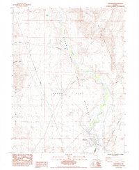
1985 Map of Wadsworth
USGS Topo · Published 1985About this map
Wadsworth sits at a strategic bend of the Truckee River, where the railroad and river corridor meet the edge of the Fortymile Desert. This mid-1980s survey illustrates a landscape defined by the sharp transition between the irrigated river valley and the arid stretches of Dodge Flat. The community's infrastructure is visible through a substation, a gaging station, and two cemeteries, while the Southern Pacific tracks trace the historic transportation route through the canyon.
Find a feature on this map
20 named features on this map. Tap any name to fly to it.
Don’t see what you’re looking for? This feature index may not catch every label — zoom into the map to look around manually.
Map Details
Editions of this 1985 Wadsworth Map
3 editions found
Other maps of this area

1890 · Wadsworth
USGS Topo · 1:125,000

1892 · Wadsworth
USGS Topo · 1:125,000

1894 · Wadsworth
USGS Topo · 1:125,000

1957 · Fireball Ridge
USGS Topo · 1:62,500

1957 · Two Tips
USGS Topo · 1:62,500

1957 · Wadsworth
USGS Topo · 1:62,500

1957 · Nixon
USGS Topo · 1:62,500

1957 · Reno
USGS Topo · 1:250,000

1959 · Reno
USGS Topo · 1:250,000

1960 · Reno
USGS Topo · 1:250,000