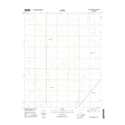
2015 Map of Wagon Bed Spring SE
USGS Topo · Published 2015About this map
Stevens County’s high plains terrain is defined by a rigorous grid of section lines and rural thoroughfares in this 2015 study. The landscape is organized into townships such as t31s r37w and t31s r36w, where the flat topography is primarily etched by a systematic network of county roads. Key north-south corridors like Rd 13 and Rd 14 intersect with east-west routes including Rd Aa and Rd Bb, reflecting the enduring Public Land Survey System that has governed Kansas agriculture for generations. While the map is dominated by these geometric boundaries, subtle contour intervals reveal the gentle undulations of the prairie south of the historic Cimarron River crossing area. This modern survey provides a precise look at the rural infrastructure and land divisions between t32s r37w and t32s r36w, serving as a baseline for understanding contemporary land use and ownership in this corner of the state.
Find a feature on this map
19 named features on this map. Tap any name to fly to it.
Don’t see what you’re looking for? This feature index may not catch every label — zoom into the map to look around manually.
Map Details
Editions of this 2015 Wagon Bed Spring SE Map
This is the sole edition of this map. No revisions or reprints were ever made.
Other maps of this area

1944 · Moscow
USGS Topo · 1:62,500

1945 · Moscow
USGS Topo · 1:62,500

1955 · Dodge City
USGS Topo · 1:250,000

1958 · Dodge City
USGS Topo · 1:250,000

1959 · Dodge City
USGS Topo · 1:250,000

1974 · Hugoton
USGS Topo · 1:24,000

1974 · Feterita
USGS Topo · 1:24,000
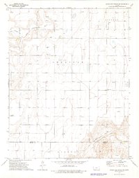
1974 · Wagon Bed Spring NW
USGS Topo · 1:24,000
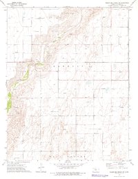
1974 · Wagon Bed Spring SW
USGS Topo · 1:24,000
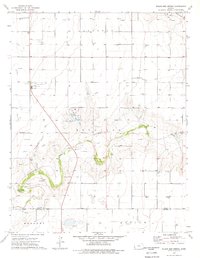
1974 · Wagon Bed Spring
USGS Topo · 1:24,000