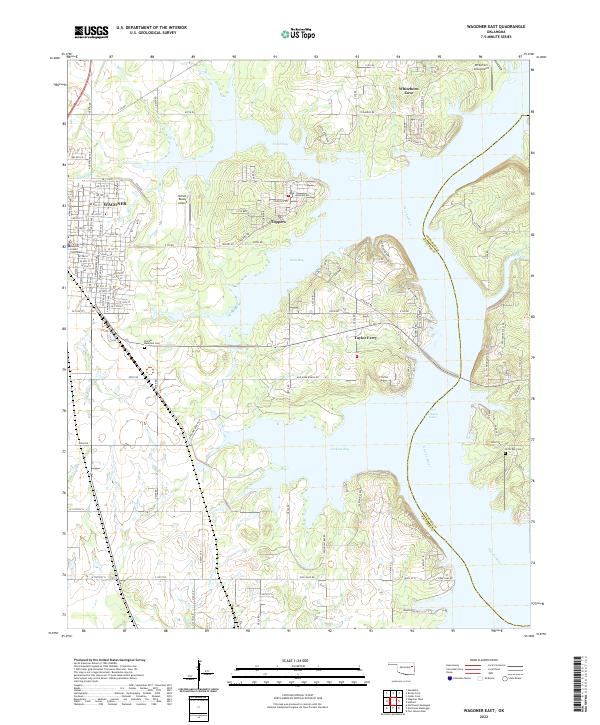
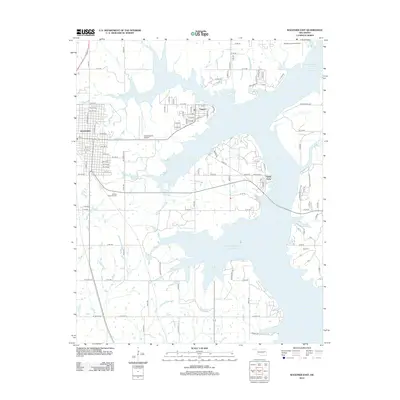
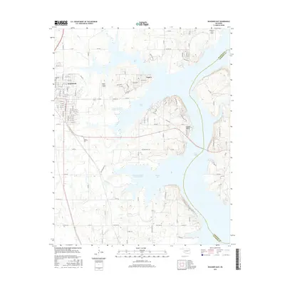
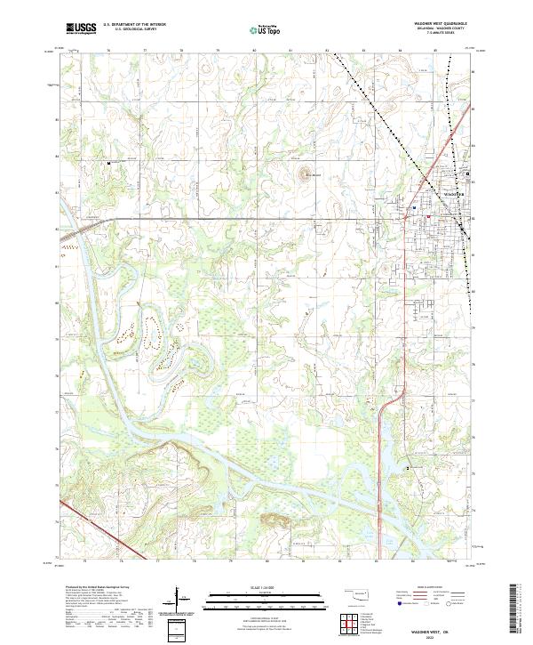
2022 Map of Wagoner East
USGS Topo · Published 2022About this map
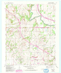
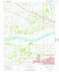
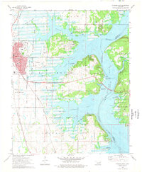
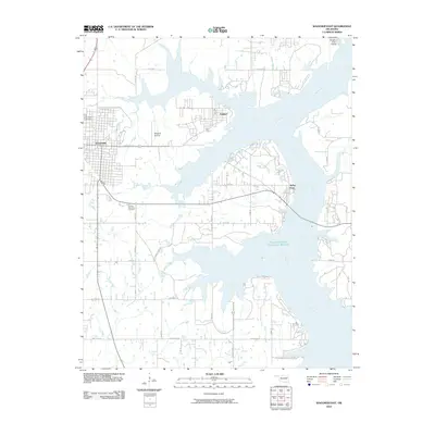
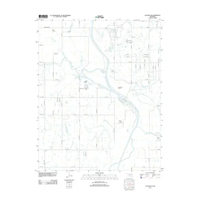
Fort Gibson Lake dominates this landscape on the eastern edge of the Oklahoma prairie, where the Neosho River valley has been transformed into a complex network of bays and inlets. The shoreline is characterized by numerous recreational and residential pockets, including the communities of Toppers, Whitehorn Cove, and Taylor Ferry. These settlements are tucked along the water's edge, separated by deep arms of the lake like North Bay, Long Bay, and Jackson Bay.
Find a feature on this map
121 named features on this map. Tap any name to fly to it.
Don’t see what you’re looking for? This feature index may not catch every label — zoom into the map to look around manually.
Map Details
Editions of this 2022 Wagoner East Map
This is the sole edition of this map. No revisions or reprints were ever made.
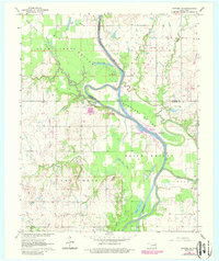
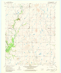
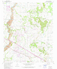
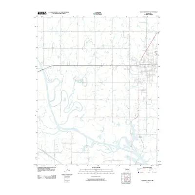
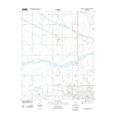
Historical Maps of Wagoner Through Time
45 maps found
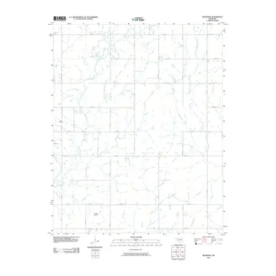
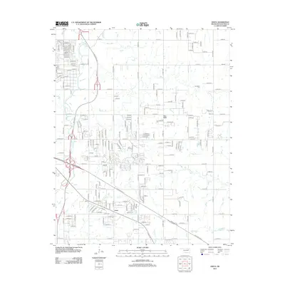
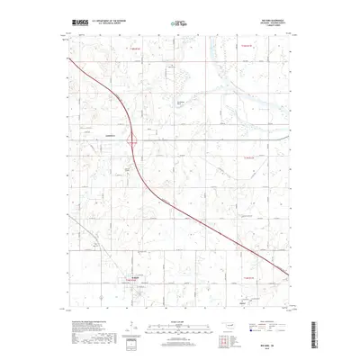
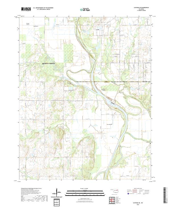
1963 Catoosa SE
Wagoner County, OK
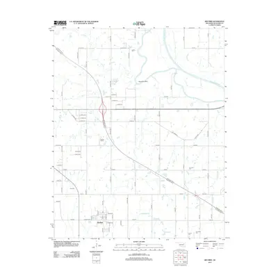
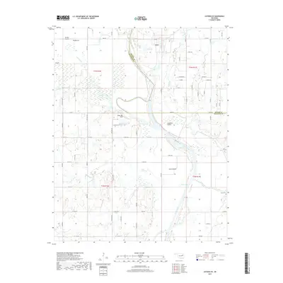
1963 Neodesha
Wagoner County, OK
1963 Oneta
Wagoner County, OK
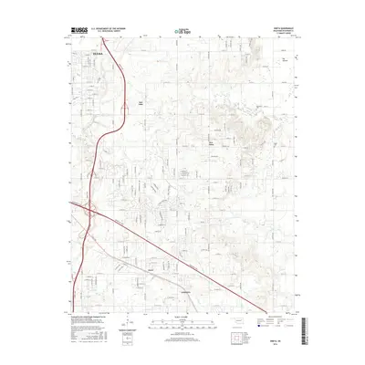
1963 Red Bird
Wagoner County, OK
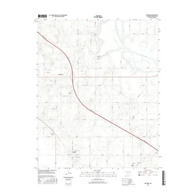
1972 Wagoner NE
Wagoner County, OK
1972 Wagoner NW
Wagoner County, OK
1972 Wagoner SW
Wagoner County, OK
1974 Northwest Muskogee
Wagoner County, OK
1974 Wagoner East
Wagoner County, OK
1974 Wagoner West
Wagoner County, OK
2010 Catoosa SE
Wagoner County, OK
2010 Neodesha
Wagoner County, OK
2010 Northwest Muskogee
Wagoner County, OK
2010 Oneta
Wagoner County, OK
2010 Red Bird
Wagoner County, OK
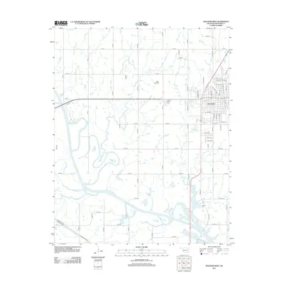
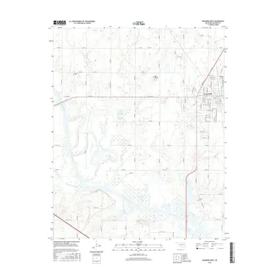
2010 Wagoner East
Wagoner County, OK
2010 Wagoner West
Wagoner County, OK
2012 Neodesha
Wagoner County, OK
2012 Northwest Muskogee
Wagoner County, OK
2012 Oneta
Wagoner County, OK
2012 Red Bird
Wagoner County, OK
2012 Wagoner East
Wagoner County, OK
2012 Wagoner West
Wagoner County, OK
2013 Catoosa SE
Wagoner County, OK
2016 Catoosa SE
Wagoner County, OK
2016 Neodesha
Wagoner County, OK
2016 Northwest Muskogee
Wagoner County, OK
2016 Oneta
Wagoner County, OK
2016 Red Bird
Wagoner County, OK
2016 Wagoner East
Wagoner County, OK
2016 Wagoner West
Wagoner County, OK
2018 Red Bird
Wagoner County, OK
2018 Wagoner East
Wagoner County, OK
2018 Wagoner West
Wagoner County, OK
2019 Catoosa SE
Wagoner County, OK
2019 Neodesha
Wagoner County, OK
2019 Northwest Muskogee
Wagoner County, OK
2019 Oneta
Wagoner County, OK
2022 Catoosa SE
Wagoner County, OK
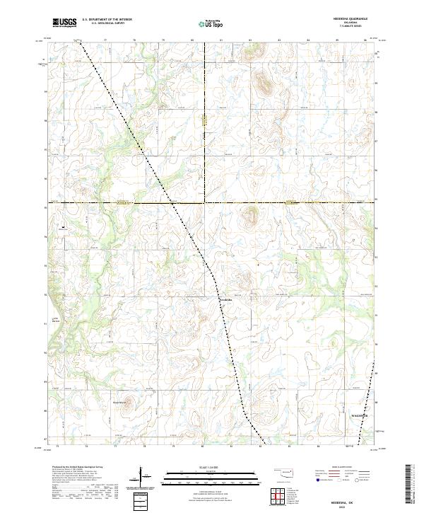
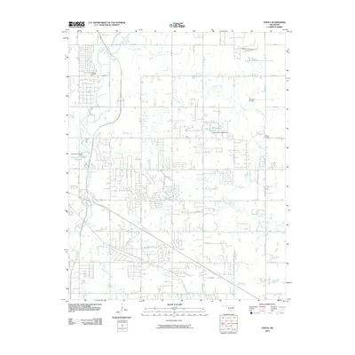
2022 Neodesha
Wagoner County, OK
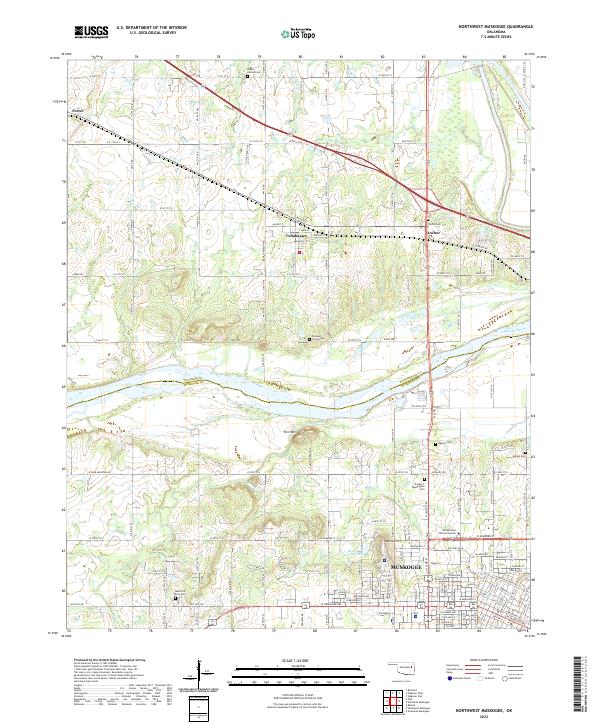
2022 Northwest Muskogee
Wagoner County, OK
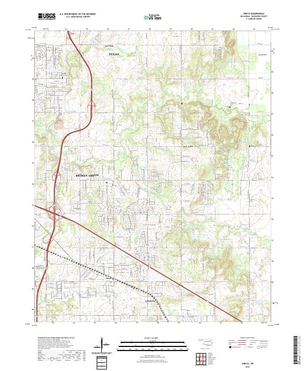
2022 Oneta
Wagoner County, OK
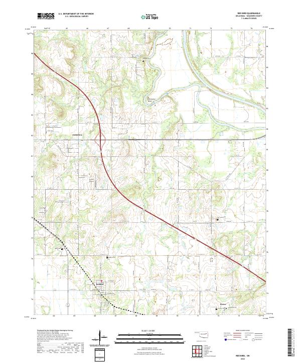
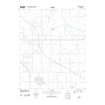
2022 Red Bird
Wagoner County, OK
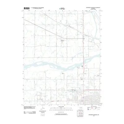
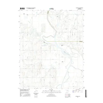
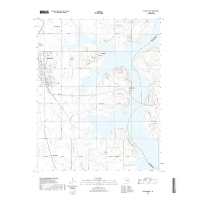
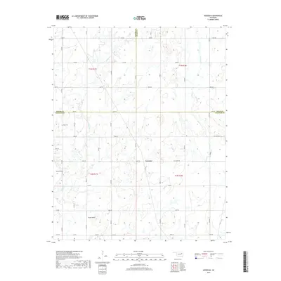
2022 Wagoner East
Wagoner County, OK
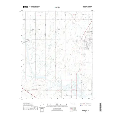
2022 Wagoner West
Wagoner County, OK