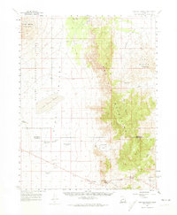
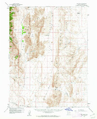
1960 Map of Wah Wah Summit
USGS Topo · Published 1974About this map
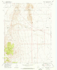
The Desert Experimental Range dominates the western half of this landscape, where the Pine Valley Hardpan reflects the arid character of the Great Basin. This mid-century survey documents the scientific infrastructure of the era, noting numerous Experimental Plots and the Range Headquarters situated along the valley floor. To the east, the topography shifts dramatically as the Wah Wah Mountains rise, creating a natural barrier marked by points like Eye of Needle and Wah Wah Summit.
Find a feature on this map
29 named features on this map. Tap any name to fly to it.
Don’t see what you’re looking for? This feature index may not catch every label — zoom into the map to look around manually.
Map Details
Editions of this 1960 Wah Wah Summit Map
2 editions found
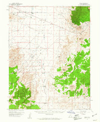
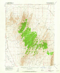
Other maps of this area

1953 · Richfield
USGS Topo · 1:250,000

1958 · Richfield
USGS Topo · 1:250,000
1959 · Frisco
USGS Topo · 1:62,500
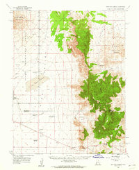
1960 · Burbank Hills
USGS Topo · 1:62,500
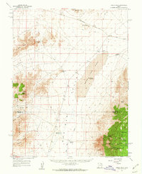
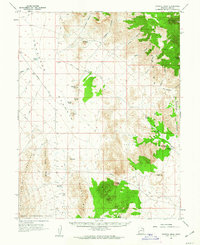
1960 · Frisco Peak
USGS Topo · 1:62,500
1960 · Wah Wah Summit
USGS Topo · 1:62,500
1960 · Crystal Peak
USGS Topo · 1:62,500
1960 · The Barn
USGS Topo · 1:62,500
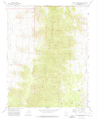
1971 · Sewing Machine Pass
USGS Topo · 1:24,000
1971 · Halfway Summit
USGS Topo · 1:24,000