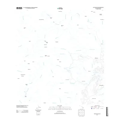
2013 Map of Waialeale
USGS Topo · Published 2013About this map
Wai'ale'ale and the peak of Kawaikini define this interior portion of Kaua'i, where high-elevation drainage systems feed some of the island's major river networks. The terrain is marked by steep transitions such as the Wainiha Pali and deep carvings like Olokele Canyon. Hydroelectric infrastructure is evident along the southern slopes, where the Upper Powerhouse and Lower Powerhouse utilize the descent of the Waiahi Stream. Cultural and historical sites are represented by Ka'awako Helau in the Wainiha Valley, while the northern portion of the map follows the winding courses of the Wainiha River and Lumaha'i River. This survey captures the complex water distribution from the central peaks toward the coast, including numerous waterfalls such as Kāpaka Nui Falls and Hāli'i Falls.
Find a feature on this map
71 named features on this map. Tap any name to fly to it.
Don’t see what you’re looking for? This feature index may not catch every label — zoom into the map to look around manually.
Map Details
Editions of this 2013 Waialeale Map
This is the sole edition of this map. No revisions or reprints were ever made.
Other maps of this area

1954 · Kauai
USGS Topo · 1:250,000

1963 · Anahola
USGS Topo · 1:24,000

1963 · Lihue
USGS Topo · 1:24,000

1963 · Hanapepe
USGS Topo · 1:24,000

1963 · Kapaa
USGS Topo · 1:24,000

1963 · Koloa
USGS Topo · 1:24,000

1963 · Hanalei
USGS Topo · 1:24,000

1965 · Waimea Canyon
USGS Topo · 1:24,000

1965 · Haena
USGS Topo · 1:24,000

1965 · Waialeale
USGS Topo · 1:24,000