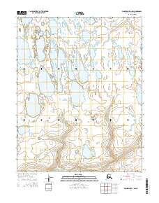
2014 Map of Wainwright A-1 NW
USGS Topo · Published 2014About this map
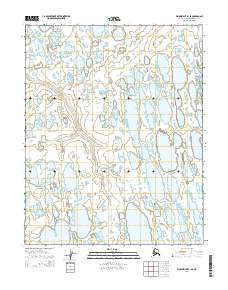
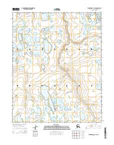
The Avalik River winds through this Arctic landscape in the North Slope Borough, defining the southern boundary of a region dominated by intricate thermokarst activity. The drainage patterns shown here, including Irak Cr in the northeast and Oyagaruk Cr in the southeast, reveal a low-lying tundra environment where water and permafrost dictate the topography. This 2014 survey captures the North Slope just before modern shifts in hydrography began to accelerate, offering a baseline of the numerous lakes and intermittent streams that characterize the North American Arctic coast. The absence of roads or permanent structures reflects the extreme isolation of this terrain, where the natural movement of the river systems remains the primary geographical feature within the established township and range lines.
Find a feature on this map
7 named features on this map. Tap any name to fly to it.
Don’t see what you’re looking for? This feature index may not catch every label — zoom into the map to look around manually.
Map Details
Editions of this 2014 Wainwright A-1 NW Map
This is the sole edition of this map. No revisions or reprints were ever made.
Other maps of this area

1951 · Wainwright
USGS Topo · 1:250,000

1955 · Wainwright
USGS Topo · 1:250,000

1955 · Wainwright A-2
USGS Topo · 1:63,360

1955 · Wainwright B-1
USGS Topo · 1:63,360
1955 · Wainwright B-2
USGS Topo · 1:63,360
1955 · Wainwright A-1
USGS Topo · 1:63,360

1964 · Wainwright
USGS Topo · 1:250,000
2014 · Wainwright B-2 SE
USGS Topo · 1:25,000
2014 · Wainwright B-1 SE
USGS Topo · 1:25,000
2014 · Wainwright B-1 SW
USGS Topo · 1:25,000