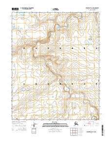
2014 Map of Wainwright A-3 NE
USGS Topo · Published 2014About this map
The Ivisaruk River meanders through this portion of the Alaska North Slope, defining the primary drainage pattern of a landscape shaped by permafrost and seasonal hydrological shifts. This 2014 survey captures the intricate winding of the waterway as it cuts through the tundra, crossing the township boundaries of T10n R34w, T10n R33w, T9n R34w, and T9n R33w. The map illustrates a highly specialized environment where elevation changes are subtle but critical to the movement of water and the formation of seasonal pools. The lack of built infrastructure or named settlements reflects the remote nature of this Arctic region, where the natural course of the Ivisaruk River remains the dominant geographic feature for navigation and environmental study.
Find a feature on this map
5 named features on this map. Tap any name to fly to it.
Don’t see what you’re looking for? This feature index may not catch every label — zoom into the map to look around manually.
Map Details
Editions of this 2014 Wainwright A-3 NE Map
This is the sole edition of this map. No revisions or reprints were ever made.
Other maps of this area

1951 · Wainwright
USGS Topo · 1:250,000

1955 · Wainwright
USGS Topo · 1:250,000

1955 · Wainwright A-2
USGS Topo · 1:63,360
1955 · Wainwright A-3
USGS Topo · 1:63,360
1955 · Wainwright B-2
USGS Topo · 1:63,360
1955 · Wainwright B-3
USGS Topo · 1:63,360

1964 · Wainwright
USGS Topo · 1:250,000
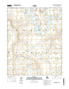
2014 · Wainwright A-3 NW
USGS Topo · 1:25,000
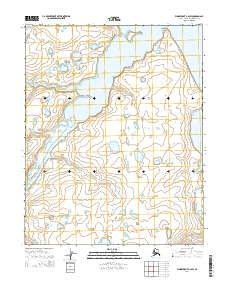
2014 · Wainwright B-2 SW
USGS Topo · 1:25,000
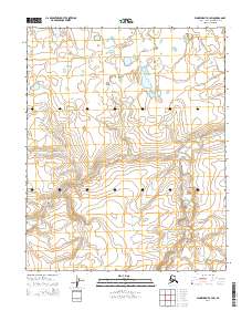
2014 · Wainwright A-3 SW
USGS Topo · 1:25,000