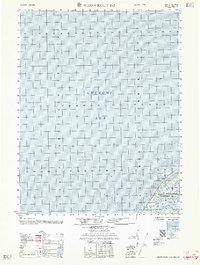
1962 Map of Wainwright D-2
USGS Topo · Published 1962About this map
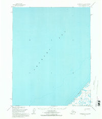
The Chukchi Sea dominates this coastal survey, where the icy waters meet the northwestern edge of the Alaskan Arctic. On the shoreline, Point Belcher serves as a prominent landmark for navigation along the jagged coast. Inland, the map reveals a vast landscape managed as part of the Naval Petroleum Reserve No 4, reflecting the strategic importance of the region's natural resources during the mid-20th century. A lone Winter Trail cuts through the tundra, indicating the specialized seasonal transportation networks required for movement across this environment. This survey captures a moment when federal agencies were actively mapping the remote reaches of the North Slope for both maritime safety and resource management.
Find a feature on this map
4 named features on this map. Tap any name to fly to it.
Don’t see what you’re looking for? This feature index may not catch every label — zoom into the map to look around manually.
Map Details
Editions of this 1962 Wainwright D-2 Map
This is the sole edition of this map. No revisions or reprints were ever made.
Other maps of this area

1951 · Wainwright
USGS Topo · 1:250,000

1955 · Wainwright
USGS Topo · 1:250,000

1955 · Wainwright C-1
USGS Topo · 1:63,360
1955 · Wainwright D-2
USGS Topo · 1:63,360
1955 · Wainwright C-2
USGS Topo · 1:63,360
1955 · Wainwright D-1
USGS Topo · 1:63,360
1955 · Wainwright C-3
USGS Topo · 1:63,360

1964 · Wainwright
USGS Topo · 1:250,000
2014 · Wainwright D-1 SW
USGS Topo · 1:25,000
2014 · Wainwright C-1 NW
USGS Topo · 1:25,000