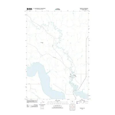
2012 Map of Wakpala
USGS Topo · Published 2012About this map
Wakpala serves as the primary settlement on this portion of the Standing Rock Indian Reservation, situated where the high plains meet the expansive waters of Lake Oahe. The landscape is defined by the winding course of Oak Cr and the prominent rising of Rattlesnake Butte to the west. Local genealogy and history are anchored at the Saint Bedes Cem, located within the town's small grid of streets including Main St and Railway St. The terrain transitions from the deep cut of Deep Bank Cr in the southwest to the upland ridges traversed by Snake Butte Rd. This 2012 survey illustrates the intersection of rural South Dakota infrastructure, like Co Hwy 277, with the vast reservoir shoreline that reshaped the Missouri River valley.
Find a feature on this map
14 named features on this map. Tap any name to fly to it.
Don’t see what you’re looking for? This feature index may not catch every label — zoom into the map to look around manually.
Map Details
Editions of this 2012 Wakpala Map
This is the sole edition of this map. No revisions or reprints were ever made.
Other maps of this area

1953 · McIntosh
USGS Topo · 1:250,000

1956 · Wakpala NW
USGS Topo · 1:24,000

1956 · Wakpala SE
USGS Topo · 1:24,000

1956 · Wakpala SW
USGS Topo · 1:24,000

1956 · Wakpala
USGS Topo · 1:24,000

1958 · McIntosh
USGS Topo · 1:250,000

1966 · Mahto
USGS Topo · 1:24,000

1966 · Kenel
USGS Topo · 1:24,000

1966 · Kline Buttes
USGS Topo · 1:24,000

1967 · Mobridge NW
USGS Topo · 1:24,000