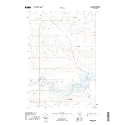
2017 Map of Wakpala NW
USGS Topo · Published 2017About this map
The Grand River snakes through the southern reaches of this landscape, feeding into the expansive waters of Lake Oahe within Corson County. This territory, part of the Standing Rock Indian Reservation, preserves a sparse but deeply rooted cultural landscape marked by isolated burial grounds. High on the bluffs overlooking the river valley, researchers can find Long Hill Cem and Sacred Heart Cem, which serve as significant genealogical landmarks for the local community.
Find a feature on this map
17 named features on this map. Tap any name to fly to it.
Don’t see what you’re looking for? This feature index may not catch every label — zoom into the map to look around manually.
Map Details
Editions of this 2017 Wakpala NW Map
This is the sole edition of this map. No revisions or reprints were ever made.
Other maps of this area

1953 · McIntosh
USGS Topo · 1:250,000

1956 · Wakpala NW
USGS Topo · 1:24,000

1956 · Little Eagle
USGS Topo · 1:24,000

1956 · Wakpala SE
USGS Topo · 1:24,000

1956 · Little Eagle SE
USGS Topo · 1:24,000

1956 · Wakpala SW
USGS Topo · 1:24,000

1956 · Wakpala
USGS Topo · 1:24,000

1958 · McIntosh
USGS Topo · 1:250,000

1966 · McLaughlin
USGS Topo · 1:24,000

1966 · Mahto
USGS Topo · 1:24,000