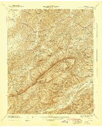
1941 Map of Walden Creek
USGS Topo · Published 1941About this map
Chilhowee Mountain dominates the landscape of this 1940s survey, bisecting the region with a prominent ridge that defines local drainage patterns toward Walden Creek and Boyds Creek. Along the northern edges, the Slate Knobs and the Chapman Highway corridor indicate the primary routes of travel and early development. This area is remarkably dense with rural institutions, including the Harrison Chilhowee Academy and several local schools like the Pitner Sch and DuPont Sch.
Find a feature on this map
67 named features on this map. Tap any name to fly to it.
Don’t see what you’re looking for? This feature index may not catch every label — zoom into the map to look around manually.
Map Details
Editions of this 1941 Walden Creek Map
2 editions found
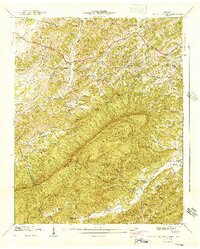
Other maps of this area

1886 · Knoxville
USGS Topo · 1:125,000

1892 · Knoxville
USGS Topo · 1:125,000

1894 · Knoxville
USGS Topo · 1:125,000

1895 · Knoxville
USGS Topo · 1:125,000

1901 · Knoxville
USGS Topo · 1:125,000

1935 · Knoxville
USGS Topo · 1:48,000

1935 · Walden Creek
USGS Topo · 1:24,000

1935 · Wildwood
USGS Topo · 1:24,000

1935 · Sevierville
USGS Topo · 1:48,000
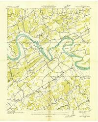
1935 · Boyds Creek
USGS Topo · 1:24,000