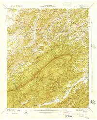
1941 Map of Walden Creek
USGS Topo · Published 1941About this map
The Chilhowee Mountain ridge dominates this 1941 landscape, forming a natural barrier between Sevier and Blount counties. The area is characterized by a dense network of early rural educational and religious institutions, including the Harrison Chilhowee Academy and several neighborhood schools like Pitner Sch and Chinquapin Sch. Transportation is anchored by the Chapman Highway cutting across the Slate Knobs to the north, while smaller settlements like Cusick and Doyle Springs occupy the valleys. The map reveals the intricate drainage patterns of the region, from the headwaters of Walden Creek to the Sinkhole Creek area. This survey was conducted just as the Tennessee Valley Authority was reshaping the regional geography, offering a view of established mountain communities before modern development altered the rural character of these slopes and hollows.
Find a feature on this map
42 named features on this map. Tap any name to fly to it.
Don’t see what you’re looking for? This feature index may not catch every label — zoom into the map to look around manually.
Map Details
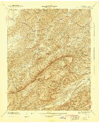
Editions of this 1941 Walden Creek Map
2 editions found
Other maps of this area

1886 · Knoxville
USGS Topo · 1:125,000

1892 · Knoxville
USGS Topo · 1:125,000

1894 · Knoxville
USGS Topo · 1:125,000

1895 · Knoxville
USGS Topo · 1:125,000

1901 · Knoxville
USGS Topo · 1:125,000

1935 · Knoxville
USGS Topo · 1:48,000

1935 · Walden Creek
USGS Topo · 1:24,000

1935 · Wildwood
USGS Topo · 1:24,000

1935 · Sevierville
USGS Topo · 1:48,000
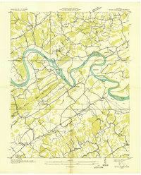
1935 · Boyds Creek
USGS Topo · 1:24,000