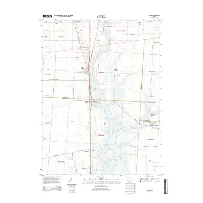
2013 Map of Waldo
USGS Topo · Published 2013About this map
Waldo serves as the central hub for this portion of southern Marion County, situated along the Olentangy River and the historical corridor of Waldo Delaware Rd. The landscape is defined by the river’s southward flow into the expansive Delaware Lake, where tributaries like Brundige Run and Whetstone Creek converge. The rural character of the area is underscored by numerous small burial grounds and family-named landmarks, including the Augenstein Cem, Wolfinger Cem, and Berringer Cem, reflecting generations of settlement in Waldo and nearby townships.
Find a feature on this map
105 named features on this map. Tap any name to fly to it.
Don’t see what you’re looking for? This feature index may not catch every label — zoom into the map to look around manually.
Map Details
Editions of this 2013 Waldo Map
This is the sole edition of this map. No revisions or reprints were ever made.
Other maps of this area

1903 · Marion
USGS Topo · 1:62,500

1905 · Marion
USGS Topo · 1:62,500

1913 · Mount Gilead
USGS Topo · 1:62,500

1915 · Marengo
USGS Topo · 1:62,500

1916 · Mount Gilead
USGS Topo · 1:62,500

1924 · Delaware
USGS Topo · 1:62,500

1925 · Delaware
USGS Topo · 1:62,500

1943 · Marengo
USGS Topo · 1:62,500

1943 · Mount Gilead
USGS Topo · 1:62,500

1944 · Delaware
USGS Topo · 1:62,500