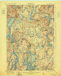
1915 Map of Waldoboro
USGS Topo · Published 1932About this map
Damariscotta Lake and its prominent Great Bay anchor the western reaches of this coastal Maine landscape, where the Maine Central Railroad cuts a path through heavy forest and scattered farmsteads. The region's early 20th-century economy is visible in the clusters of settlements like Winslows Mills and Waldoboro, where the Medomak River flows toward the tidewaters of Muscongus Bay. Along the eastern edge, the St. George River connects a chain of inland waters including Sennebec Pond and Seven Tree Pond, serving as a vital corridor for the communities of Union and Warren.
Find a feature on this map
152 named features on this map. Tap any name to fly to it.
Don’t see what you’re looking for? This feature index may not catch every label — zoom into the map to look around manually.
Map Details
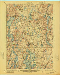
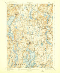
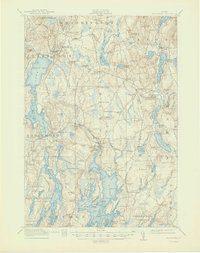
Editions of this 1915 Waldoboro Map
5 editions found

Other maps of this area

1893 · Vassalboro
USGS Topo · 1:62,500

1893 · Wiscasset
USGS Topo · 1:62,500

1893 · Boothbay
USGS Topo · 1:62,500

1898 · Vassalboro
USGS Topo · 1:62,500

1904 · Monhegan
USGS Topo · 1:62,500

1904 · Tenants Harbor
USGS Topo · 1:62,500

1904 · Rockland
USGS Topo · 1:62,500

1906 · Tennant Harbor
USGS Topo · 1:62,500

1906 · Monhegan
USGS Topo · 1:62,500

1906 · Rockland
USGS Topo · 1:62,500