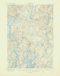
1915 Map of Waldoboro
USGS Topo · Published 1947About this map
The Medomak River corridor and its surrounding coastal peninsulas define this mid-coast Maine landscape as it was surveyed just before the First World War. The region is characterized by a dense network of crossroad settlements and neighborhood schoolhouses, including the Duckpuddle School and Goshen School, which served the scattered farming and fishing families of the era. The Maine Central railroad cuts through the center of the sheet, providing vital shipping points at Waldoboro and Glendon Station.
Find a feature on this map
143 named features on this map. Tap any name to fly to it.
Don’t see what you’re looking for? This feature index may not catch every label — zoom into the map to look around manually.
Map Details
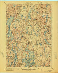
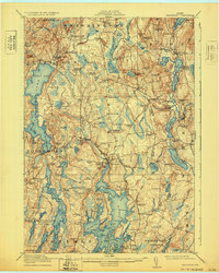
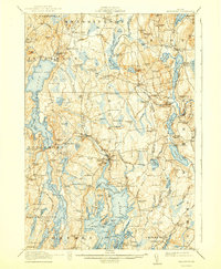
Editions of this 1915 Waldoboro Map
5 editions found

Other maps of this area

1893 · Vassalboro
USGS Topo · 1:62,500

1893 · Wiscasset
USGS Topo · 1:62,500

1893 · Boothbay
USGS Topo · 1:62,500

1898 · Vassalboro
USGS Topo · 1:62,500

1904 · Monhegan
USGS Topo · 1:62,500

1904 · Tenants Harbor
USGS Topo · 1:62,500

1904 · Rockland
USGS Topo · 1:62,500

1906 · Tennant Harbor
USGS Topo · 1:62,500

1906 · Monhegan
USGS Topo · 1:62,500

1906 · Rockland
USGS Topo · 1:62,500