
1915 Map of Waldoboro
USGS Topo · Published 1915About this map
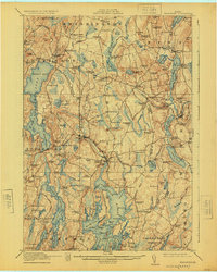
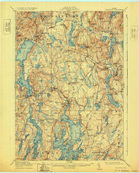
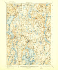
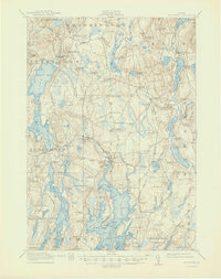
Waldoboro serves as the focal point of this coastal Maine survey, where the Medomak River flows south toward the tidal inlets of the mid-coast. The landscape is a network of small crossroads settlements and family-named landmarks, reflecting an early 20th-century economy built on the water and the Central Maine RR. Along the rail line, stops like Winslows Mills, Nobleboro Station, and Warren Station facilitate the movement of goods and people between the interior ponds and the sea.
Find a feature on this map
115 named features on this map. Tap any name to fly to it.
Don’t see what you’re looking for? This feature index may not catch every label — zoom into the map to look around manually.
Map Details
Editions of this 1915 Waldoboro Map
5 editions found
Other maps of this area

1893 · Vassalboro
USGS Topo · 1:62,500

1893 · Wiscasset
USGS Topo · 1:62,500

1893 · Boothbay
USGS Topo · 1:62,500

1898 · Vassalboro
USGS Topo · 1:62,500

1904 · Monhegan
USGS Topo · 1:62,500

1904 · Tenants Harbor
USGS Topo · 1:62,500

1904 · Rockland
USGS Topo · 1:62,500

1906 · Tennant Harbor
USGS Topo · 1:62,500

1906 · Monhegan
USGS Topo · 1:62,500

1906 · Rockland
USGS Topo · 1:62,500