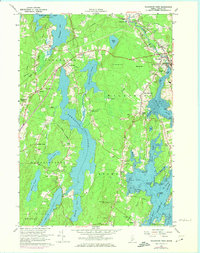
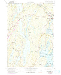
1965 Map of Waldoboro West
USGS Topo · Published 1974About this map
The Maine Central Railroad tracks cut through the northern half of this coastal landscape, passing the small settlement of Winslows Mills and the community of Glendon. This mid-century survey documents the transition from the freshwater expanses of Damariscotta Lake and Pemaquid Pond to the tidal reaches of the Medomak River. The southern portion of the sheet reveals the intricate geography of the coast, where Dutch Neck and Keene Neck frame tidal flats and the waters of the Hockomock Channel. Evidence of local education and civil life is scattered across the townships, from the Nobleboro Central Sch to the Townhall and the Johnston Hill Lookout Tower. Numerous cemeteries, such as Dunbar Cem and Evergreen Cem, are meticulously marked near early crossroads like Eugley Corner and Sprague Corner.
Find a feature on this map
84 named features on this map. Tap any name to fly to it.
Don’t see what you’re looking for? This feature index may not catch every label — zoom into the map to look around manually.
Map Details
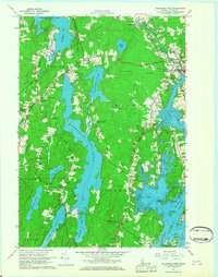
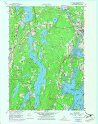
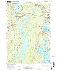
Editions of this 1965 Waldoboro West Map
5 editions found
Other maps of this area

1893 · Wiscasset
USGS Topo · 1:62,500

1893 · Boothbay
USGS Topo · 1:62,500

1904 · Monhegan
USGS Topo · 1:62,500

1906 · Monhegan
USGS Topo · 1:62,500

1913 · Waldoboro
USGS Topo · 1:48,000

1915 · Waldoboro
USGS Topo · 1:62,500

1941 · Waldoboro
USGS Topo · 1:62,500

1941 · Boothbay
USGS Topo · 1:62,500

1943 · Boothbay
USGS Topo · 1:62,500

1944 · Wiscasset
USGS Topo · 1:62,500