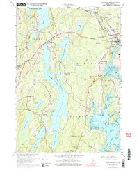
1965 Map of Waldoboro West
USGS Topo · Published 1991About this map
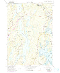
Damariscotta Lake and the winding Medomak River define this coastal Lincoln County landscape during the mid-1960s. The region is characterized by a series of north-south oriented ridges and interconnected water bodies, including Pemaquid Pond and Duckpuddle Pond. The settlement pattern follows these natural corridors, with clusters at Waldoboro, Nobleboro, and Winslows Mills linked by the Maine Central Railroad.
Find a feature on this map
81 named features on this map. Tap any name to fly to it.
Don’t see what you’re looking for? This feature index may not catch every label — zoom into the map to look around manually.
Map Details
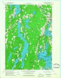
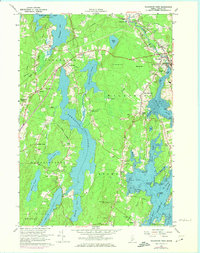
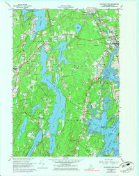
Editions of this 1965 Waldoboro West Map
5 editions found
Other maps of this area

1893 · Wiscasset
USGS Topo · 1:62,500

1893 · Boothbay
USGS Topo · 1:62,500

1904 · Monhegan
USGS Topo · 1:62,500

1906 · Monhegan
USGS Topo · 1:62,500

1913 · Waldoboro
USGS Topo · 1:48,000

1915 · Waldoboro
USGS Topo · 1:62,500

1941 · Waldoboro
USGS Topo · 1:62,500

1941 · Boothbay
USGS Topo · 1:62,500

1943 · Boothbay
USGS Topo · 1:62,500

1944 · Wiscasset
USGS Topo · 1:62,500