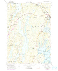
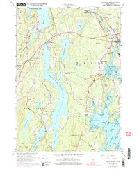
1965 Map of Waldoboro West
USGS Topo · Published 1991About this map
Winslows Mills and Waldoboro anchor the northeastern corridor of this coastal Lincoln County landscape, where the Maine Central Railroad follows the path of the Medomak River. The map captures a transitional maritime economy, with numerous gravel pits interspersed among long-established community centers like Nobleboro and West Waldoboro. Local genealogy is well-represented through family-named landmarks and cemeteries, including Dunbar Cem and Creamer Cem, alongside institutional markers such as the Nobleboro Central Sch and St Pauls Chapel.
Find a feature on this map
78 named features on this map. Tap any name to fly to it.
Don’t see what you’re looking for? This feature index may not catch every label — zoom into the map to look around manually.
Map Details
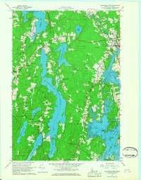
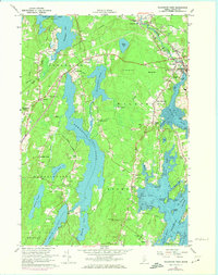
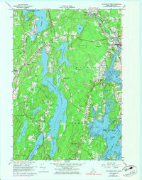
Editions of this 1965 Waldoboro West Map
5 editions found
Other maps of this area

1893 · Wiscasset
USGS Topo · 1:62,500

1893 · Boothbay
USGS Topo · 1:62,500

1904 · Monhegan
USGS Topo · 1:62,500

1906 · Monhegan
USGS Topo · 1:62,500

1913 · Waldoboro
USGS Topo · 1:48,000

1915 · Waldoboro
USGS Topo · 1:62,500

1941 · Waldoboro
USGS Topo · 1:62,500

1941 · Boothbay
USGS Topo · 1:62,500

1943 · Boothbay
USGS Topo · 1:62,500

1944 · Wiscasset
USGS Topo · 1:62,500