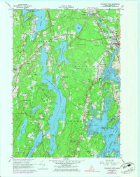
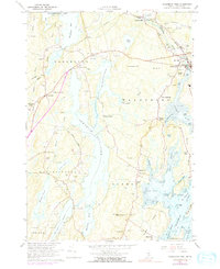
1965 Map of Waldoboro West
USGS Topo · Published 1983About this map
Damariscotta Lake and the interconnected Pemaquid Pond dominate this coastal Maine landscape, shaping the development of tight-knit villages during the mid-1960s. The Maine Central RR cuts across the northern terrain, linking hubs like Winslows Mills and Waldoboro where the Medomak River opens into a series of tidal flats and coves. The map documents a landscape of scattered family-named crossroads, from Kalers Corner to Knowlton Corner, each often defined by its own neighborhood cemetery such as Hall Cem or Dunbar Cem.
Find a feature on this map
77 named features on this map. Tap any name to fly to it.
Don’t see what you’re looking for? This feature index may not catch every label — zoom into the map to look around manually.
Map Details
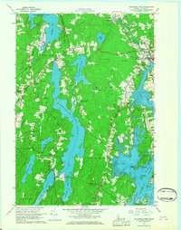
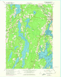
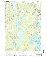
Editions of this 1965 Waldoboro West Map
5 editions found
Other maps of this area

1893 · Wiscasset
USGS Topo · 1:62,500

1893 · Boothbay
USGS Topo · 1:62,500

1904 · Monhegan
USGS Topo · 1:62,500

1906 · Monhegan
USGS Topo · 1:62,500

1913 · Waldoboro
USGS Topo · 1:48,000

1915 · Waldoboro
USGS Topo · 1:62,500

1941 · Waldoboro
USGS Topo · 1:62,500

1941 · Boothbay
USGS Topo · 1:62,500

1943 · Boothbay
USGS Topo · 1:62,500

1944 · Wiscasset
USGS Topo · 1:62,500