
1956 Map of Waldron
USGS Topo · Published 1957About this map
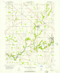
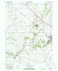
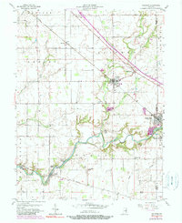
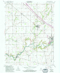
The winding course of Flat Rock Creek and Conns Creek defines the landscape of southeastern Shelby County in the mid-1950s. The agricultural character of the region is punctuated by small rural centers and crossroads, with Waldron serving as a significant hub along the New York Central railroad. Further south, the map documents the proximity of Saint Paul to a local Stone Quarry and the riverside community of Germantown.
Find a feature on this map
44 named features on this map. Tap any name to fly to it.
Don’t see what you’re looking for? This feature index may not catch every label — zoom into the map to look around manually.
Map Details
Editions of this 1956 Waldron Map
5 editions found
Other maps of this area

1942 · Columbus
USGS Topo · 1:125,000

1947 · Hope
USGS Topo · 1:24,000

1948 · Hope
USGS Topo · 1:24,000

1948 · Lewis Creek
USGS Topo · 1:24,000

1950 · Edinburg
USGS Topo · 1:62,500

1953 · Shelbyville
USGS Topo · 1:24,000

1953 · Cincinnati
USGS Topo · 1:250,000

1956 · Rays Crossing
USGS Topo · 1:24,000

1957 · Cincinnati
USGS Topo · 1:250,000

1958 · Forest Hill
USGS Topo · 1:24,000