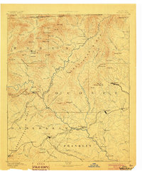
1892 Map of Walhalla
USGS Topo · Published 1903About this map
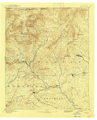
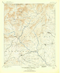
Walhalla and the surrounding Blue Ridge foothills emerge here in the late nineteenth century, defined by a critical network of mountain passes and nascent rail lines. The Blue Ridge Railroad terminates abruptly near Walhalla, highlighting the ambitious but stalled engineering efforts of the era, including the notable Tunnel Hill and Stump House Mt. To the west, the Georgia Eastern Railroad winds through the Tallulah Mountains, passing the scenic Tallulah Falls. This survey documents a landscape of river-dependent commerce before modern bridging, where the Chattooga River and Tugaloo River are navigated via crossings like Nicholas Ford, Rogues Ford, and Jenkins Ferry. Smaller settlements such as Oconee Station, Fort Madison, and Turnerville serve as local hubs for a scattered population connected by the Elberton Air Line Railroad and the Richmond and Danville Railroad.
Find a feature on this map
142 named features on this map. Tap any name to fly to it.
Don’t see what you’re looking for? This feature index may not catch every label — zoom into the map to look around manually.
Map Details
Editions of this 1892 Walhalla Map
7 editions found
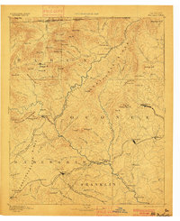
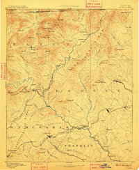
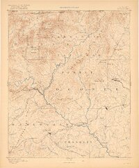
Other maps of this area

1886 · Dahlonega
USGS Topo · 1:125,000

1886 · Walhalla
USGS Topo · 1:125,000

1888 · Pickens
USGS Topo · 1:125,000

1891 · Cowee
USGS Topo · 1:125,000

1891 · Gainesville
USGS Topo · 1:125,000

1891 · Carnesville
USGS Topo · 1:125,000

1892 · Dahlonega
USGS Topo · 1:125,000

1892 · Walhalla
USGS Topo · 1:125,000

1893 · Elberton
USGS Topo · 1:125,000

1894 · Pickens
USGS Topo · 1:125,000