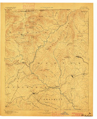
1892 Map of Walhalla
USGS Topo · Published 1900About this map
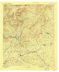
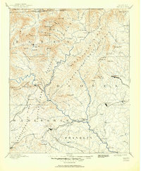
Walhalla and its neighboring mountain settlements appear here at the end of the nineteenth century, connected by a network of river crossings and emerging rail lines. The Chattahoochee River and Tugaloo River serve as significant natural boundaries, with human movement across these waters marked by Shelor Ferry, Ramsey Ferry, and Jarrett Bridge. The terrain is defined by the Tallulah Mountains and landmarks like Rabun Bald and Currahee Mt, with the famous Tallulah Falls and Toccoa Falls recorded in their pre-industrial state.
Find a feature on this map
132 named features on this map. Tap any name to fly to it.
Don’t see what you’re looking for? This feature index may not catch every label — zoom into the map to look around manually.
Map Details
Editions of this 1892 Walhalla Map
7 editions found
Other maps of this area

1886 · Dahlonega
USGS Topo · 1:125,000

1886 · Walhalla
USGS Topo · 1:125,000

1888 · Pickens
USGS Topo · 1:125,000

1891 · Cowee
USGS Topo · 1:125,000

1891 · Gainesville
USGS Topo · 1:125,000

1891 · Carnesville
USGS Topo · 1:125,000

1892 · Dahlonega
USGS Topo · 1:125,000

1892 · Walhalla
USGS Topo · 1:125,000

1893 · Elberton
USGS Topo · 1:125,000

1894 · Pickens
USGS Topo · 1:125,000