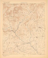
1892 Map of Walhalla
USGS Topo · Published 1921About this map
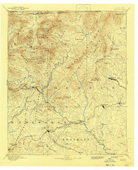
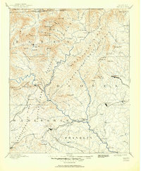
The Walhalla region at the intersection of Georgia, South Carolina, and North Carolina is defined by the sharp transition from the Vallulah Mountains to the rolling foothills of the Piedmont. Surveyed in the late 19th century, the map documents a landscape of essential river crossings and developing rail lines, such as the Blue Ridge Railroad and the Air Line Railroad. The Tugaloo River serves as a vital artery, featuring numerous family-named crossings including Ramsey Ferry, Jenkins Ferry, and Shelor Ferry. In the higher elevations of the Nantahala National Forest, peaks like Rabun Bald and Screamer Mt overlook narrow gaps and small settlements such as Tiger and Stekoa. The early infrastructure of the era is evident in the presence of Mosley Mill and the Jarrett Bridge, reflecting a rural economy dependent on water power and reliable transit across the region's many creeks and rivers.
Find a feature on this map
128 named features on this map. Tap any name to fly to it.
Don’t see what you’re looking for? This feature index may not catch every label — zoom into the map to look around manually.
Map Details
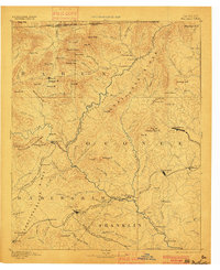
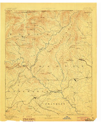
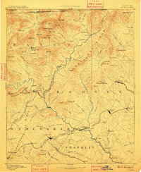
Editions of this 1892 Walhalla Map
7 editions found
Other maps of this area

1886 · Dahlonega
USGS Topo · 1:125,000

1886 · Walhalla
USGS Topo · 1:125,000

1888 · Pickens
USGS Topo · 1:125,000

1891 · Cowee
USGS Topo · 1:125,000

1891 · Gainesville
USGS Topo · 1:125,000

1891 · Carnesville
USGS Topo · 1:125,000

1892 · Dahlonega
USGS Topo · 1:125,000

1892 · Walhalla
USGS Topo · 1:125,000

1893 · Elberton
USGS Topo · 1:125,000

1894 · Pickens
USGS Topo · 1:125,000