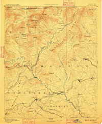
1892 Map of Walhalla
USGS Topo · Published 1910About this map
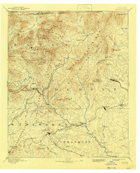
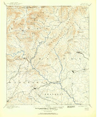
Walhalla and the rugged borderlands of the Blue Ridge dominate this late 19th-century reconnaissance, where the borders of South Carolina, Georgia, and North Carolina meet. The landscape is defined by the steep descents of the Chattooga River and the Tallulah Mountains, featuring prominent natural landmarks like Estatoah Falls and Rabun Bald. Transportation at this time relied on a network of river crossings such as Jenkins Ferry and Stribling Ferry, alongside the early infrastructure of the Blue Ridge Railroad and the Richmond And Danville Air Line Railroad. Settled points like Westminster, Clayton, and Toccoa serve as the primary hubs, while the map preserves smaller, more remote locales including Oconee Station and the industrial site of Mosley Mill. The inclusion of Tunnel Hill suggests the significant engineering challenges faced by rail lines attempting to navigate these southern highlands during the era.
Find a feature on this map
133 named features on this map. Tap any name to fly to it.
Don’t see what you’re looking for? This feature index may not catch every label — zoom into the map to look around manually.
Map Details
Editions of this 1892 Walhalla Map
7 editions found
Other maps of this area

1886 · Dahlonega
USGS Topo · 1:125,000

1886 · Walhalla
USGS Topo · 1:125,000

1888 · Pickens
USGS Topo · 1:125,000

1891 · Cowee
USGS Topo · 1:125,000

1891 · Gainesville
USGS Topo · 1:125,000

1891 · Carnesville
USGS Topo · 1:125,000

1892 · Dahlonega
USGS Topo · 1:125,000

1892 · Walhalla
USGS Topo · 1:125,000

1893 · Elberton
USGS Topo · 1:125,000

1894 · Pickens
USGS Topo · 1:125,000