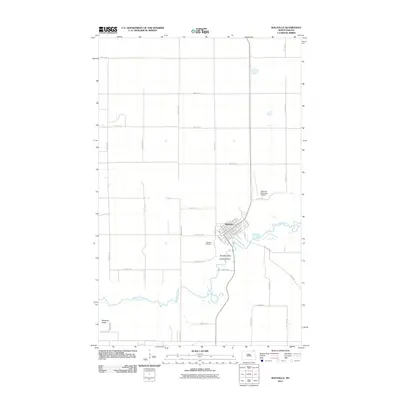
2011 Map of Walhalla
USGS Topo · Published 2011About this map
The Pembina River meanders across this northern landscape, carving a deep valley through the Pembina Hills. The city of Walhalla serves as the primary hub, established along the riverbanks with a structured grid of streets including Mountain Ave and Emmerling Ave. This 2011 survey illustrates the rural character of the region, where the steep elevation changes near Lookout Point contrast with the expansive agricultural sections defined by a precise network of section-line roads like 109th St NE and 124th Ave NE.
Find a feature on this map
35 named features on this map. Tap any name to fly to it.
Don’t see what you’re looking for? This feature index may not catch every label — zoom into the map to look around manually.
Map Details
Editions of this 2011 Walhalla Map
This is the sole edition of this map. No revisions or reprints were ever made.
Other maps of this area

1918 · Walhalla
USGS Topo · 1:62,500

1943 · Walhalla
USGS Topo · 1:62,500

1952 · Thief River Falls
USGS Topo · 1:250,000

1953 · Devils Lake
USGS Topo · 1:250,000

1956 · Thief River Falls
USGS Topo · 1:250,000

1956 · Devils Lake
USGS Topo · 1:250,000

1957 · Thief River Falls
USGS Topo · 1:250,000

1964 · Hallson
USGS Topo · 1:24,000

1964 · Leroy
USGS Topo · 1:24,000

1964 · Walhalla
USGS Topo · 1:24,000