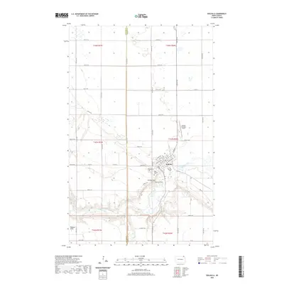
2020 Map of Walhalla
USGS Topo · Published 2020About this map
Walhalla serves as the focal point of this northeastern North Dakota landscape, where the town site is defined by the winding course of the Pembina River. The terrain transitions sharply from the agricultural tablelands in the north to the wooded slopes of the Pembina Hills, which rise above the river valley. Local landmarks such as Lookout Point offer vantage points over the river's deep incision into the surrounding plains.
Find a feature on this map
53 named features on this map. Tap any name to fly to it.
Don’t see what you’re looking for? This feature index may not catch every label — zoom into the map to look around manually.
Map Details
Editions of this 2020 Walhalla Map
This is the sole edition of this map. No revisions or reprints were ever made.
Other maps of this area

1918 · Walhalla
USGS Topo · 1:62,500

1943 · Walhalla
USGS Topo · 1:62,500

1952 · Thief River Falls
USGS Topo · 1:250,000

1953 · Devils Lake
USGS Topo · 1:250,000

1956 · Thief River Falls
USGS Topo · 1:250,000

1956 · Devils Lake
USGS Topo · 1:250,000

1957 · Thief River Falls
USGS Topo · 1:250,000

1964 · Hallson
USGS Topo · 1:24,000

1964 · Leroy
USGS Topo · 1:24,000

1964 · Walhalla
USGS Topo · 1:24,000