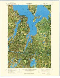
1972 Map of Walker
USGS Topo · Published 1974About this map
Leech Lake dominates this northern Minnesota landscape, where the settlement of Walker serves as a central hub on the shores of Walker Bay. The topography is defined by the complex aquatic network of the Chippewa National Forest, featuring numerous smaller water bodies such as Long Lake, Portage Lake, and Tenmile Lake. The map details the transition between the developed areas of the town and the institutional presence of the Ah-gwah-ching State Nursing Home. In the east, the community of Onigum sits on the peninsula overlooking Agency Bay and The Narrows. Local landmarks like Evergreen Cem and St Agnes Cath Ch provide significant points of interest for genealogists, while the path of the Bullington Trail and the course of the Shingobee River illustrate the region's recreational and natural layout during the early 1970s.
Find a feature on this map
47 named features on this map. Tap any name to fly to it.
Don’t see what you’re looking for? This feature index may not catch every label — zoom into the map to look around manually.
Map Details
Editions of this 1972 Walker Map
2 editions found
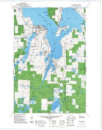
Other maps of this area

1953 · Brainerd
USGS Topo · 1:250,000

1954 · Bemidji
USGS Topo · 1:250,000

1957 · Brainerd
USGS Topo · 1:250,000

1957 · Bemidji
USGS Topo · 1:250,000

1958 · Bemidji
USGS Topo · 1:250,000

1958 · Brainerd
USGS Topo · 1:250,000

1965 · Brainerd
USGS Topo · 1:250,000

1970 · Hackensack
USGS Topo · 1:24,000

1970 · Webb Lake
USGS Topo · 1:24,000
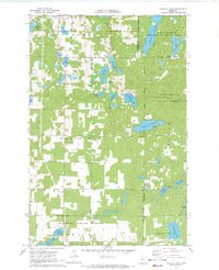
1970 · Crystal Lake
USGS Topo · 1:24,000