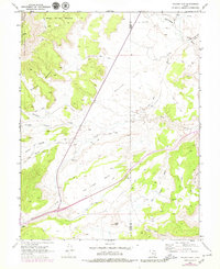
1968 Map of Walker Flat
USGS Topo · Published 1979About this map
The boundary between Sevier and Emery Counties cuts across this high-desert landscape, dominated by the broad expanse of Walker Flat and the eastern edge of the Fishlake National Forest. Mapping conducted in 1966 and updated in 1976 reveals a region defined by its drainage systems and mineral extraction. The south is anchored by the winding course of Ivie Creek, while the northeast is shaped by Quitchupah Creek and Christiansen Wash. Natural springs like Gilson Spring and Oak Spring provide critical water points in the dissected terrain of Saleratus Benches. The map documents local industrial history through several resource sites, including the Dog Valley Mine, Browning Mine, and various Prospect points and Borrow Pits that supported the area's development. A network of Jeep Trails provides the primary means of navigating the remote reaches between Windy Peak and the sandstone washes.
Find a feature on this map
28 named features on this map. Tap any name to fly to it.
Don’t see what you’re looking for? This feature index may not catch every label — zoom into the map to look around manually.
Map Details
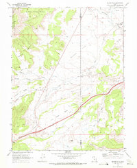
Editions of this 1968 Walker Flat Map
3 editions found
Other maps of this area

1885 · Fish Lake
USGS Topo · 1:250,000

1896 · Fish Lake
USGS Topo · 1:250,000

1922 · Emery No.3
USGS Topo · 1:31,680

1925 · Acord Lakes
USGS Topo · 1:62,500

1956 · Salina
USGS Topo · 1:250,000

1960 · Salina
USGS Topo · 1:250,000

1962 · Salina
USGS Topo · 1:250,000

1968 · Johns Peak
USGS Topo · 1:24,000
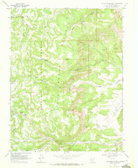
1968 · Old Woman Plateau
USGS Topo · 1:24,000
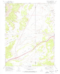
1968 · Walker Flat
USGS Topo · 1:24,000