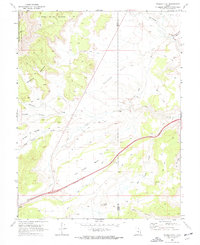
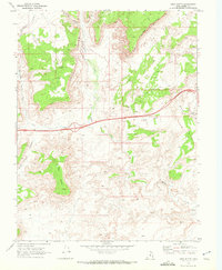
1968 Map of Walker Flat
USGS Topo · Published 1972About this map
Walker Flat and the surrounding high desert plateaus of central Utah are captured here in a 1968 survey that highlights the area's resource extraction and rugged geography. Spanning the boundary of Sevier and Emery counties, the map documents the industrial activity of the era, specifically the Dog Valley Mine and the Browning Mine situated near Dog Valley Wash. The landscape is a complex series of plateaus and drainages, with Ivie Creek cutting through the center and the edges of the Fishlake National Forest visible to the west.
Find a feature on this map
25 named features on this map. Tap any name to fly to it.
Don’t see what you’re looking for? This feature index may not catch every label — zoom into the map to look around manually.
Map Details
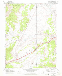
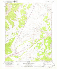
Editions of this 1968 Walker Flat Map
3 editions found
Other maps of this area

1885 · Fish Lake
USGS Topo · 1:250,000

1896 · Fish Lake
USGS Topo · 1:250,000

1922 · Emery No.3
USGS Topo · 1:31,680

1925 · Acord Lakes
USGS Topo · 1:62,500

1956 · Salina
USGS Topo · 1:250,000

1960 · Salina
USGS Topo · 1:250,000

1962 · Salina
USGS Topo · 1:250,000

1968 · Johns Peak
USGS Topo · 1:24,000
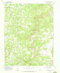
1968 · Old Woman Plateau
USGS Topo · 1:24,000
1968 · Mesa Butte
USGS Topo · 1:24,000