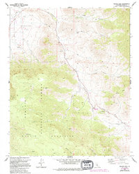
1972 Map of Walker Pass
USGS Topo · Published 1992About this map
Walker Pass serves as the central focal point of this high-altitude landscape where the southern Sierra Nevada meets the Mojave. The high desert character is evident in the vital distribution of water sources like Coyote Spring, Pilot Well, and Freeman Well, which supported travelers through this mountain gap. The terrain is dominated by the Scodie Mountains and the eastern edge of the Sequoia National Forest, with significant topographic relief rising from Canebrake Flat toward Pinyon Peak.
Find a feature on this map
32 named features on this map. Tap any name to fly to it.
Don’t see what you’re looking for? This feature index may not catch every label — zoom into the map to look around manually.
Map Details
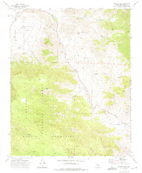
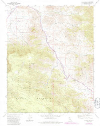
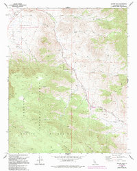
Editions of this 1972 Walker Pass Map
4 editions found
Other maps of this area

1906 · Kernville
USGS Topo · 1:125,000

1908 · Kernville
USGS Topo · 1:125,000

1915 · Searles Lake
USGS Topo · 1:250,000

1943 · Inyokern
USGS Topo · 1:62,500

1943 · Onyx
USGS Topo · 1:62,500

1947 · Trona
USGS Topo · 1:250,000

1948 · Trona
USGS Topo · 1:250,000

1948 · Bakersfield
USGS Topo · 1:250,000

1953 · Trona
USGS Topo · 1:250,000

1954 · Little Lake
USGS Topo · 1:62,500