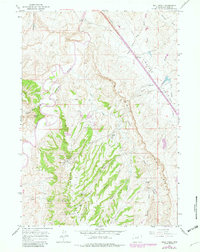
1961 Map of Wall Creek
USGS Topo · Published 1982About this map
Tisdale Mountain dominates the southwestern portion of this Wyoming landscape, serving as the topographical anchor for an area defined by its energy production and ranching history. The North Tisdale Oil Field and East Tisdale Oil Field are clearly delineated, showing a dense concentration of infrastructure including oil wells, drill holes, and a unique Hot Water Aqueduct. This industrial footprint is interspersed with traditional high-plains homesteads such as Linstead Place, Snyder Ranch, and Butts Ranch.
Find a feature on this map
37 named features on this map. Tap any name to fly to it.
Don’t see what you’re looking for? This feature index may not catch every label — zoom into the map to look around manually.
Map Details
Editions of this 1961 Wall Creek Map
2 editions found
Other maps of this area

1955 · Arminto
USGS Topo · 1:250,000

1958 · Arminto
USGS Topo · 1:250,000

1961 · Kaycee NE
USGS Topo · 1:24,000

1961 · Figure 8 Reservoir
USGS Topo · 1:24,000

1961 · TTT Ranch
USGS Topo · 1:24,000

1961 · Dugout Ranch
USGS Topo · 1:24,000

1961 · Wall Creek
USGS Topo · 1:24,000

1961 · Kaycee
USGS Topo · 1:24,000

1962 · Arminto
USGS Topo · 1:250,000

1968 · Salt Canyon
USGS Topo · 1:24,000