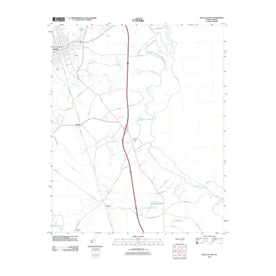
2010 Map of Wallace East
USGS Topo · Published 2010About this map
Wallace and its outlying rural communities sit at the heart of this coastal plain landscape, where the Northeast Cape Fear River meanders along the eastern edge of Pender County. The map documents a transition from the structured street grid of the town to the more dispersed settlements of Tin City, Willard, and Watha. Significant water features like Boney Mill Pond and Little Rockfish Creek provide a drainage network for the surrounding agricultural lands. Of particular historical interest is the presence of the Penderlea Homesteads in the southwest corner, a notable New Deal-era subsistence homestead project. The area's infrastructure is defined by its rail-adjacent roads like SE Railroad St and Willard Railroad St, alongside newer corridors like Oak Tree Rd. Local landmarks including the Wallace Post Office, Riverview Memorial Park, and Camp Newkirk Pond Dam offer specific points of reference for genealogists and researchers tracking family and community locations in this North Carolina interior.
Find a feature on this map
46 named features on this map. Tap any name to fly to it.
Don’t see what you’re looking for? This feature index may not catch every label — zoom into the map to look around manually.
Map Details
Editions of this 2010 Wallace East Map
This is the sole edition of this map. No revisions or reprints were ever made.
Other maps of this area

1942 · Burgaw
USGS Topo · 1:62,500

1943 · Kenansville
USGS Topo · 1:62,500

1948 · Kenansville
USGS Topo · 1:62,500

1953 · Florence
USGS Topo · 1:250,000

1953 · Beaufort
USGS Topo · 1:250,000

1954 · Florence
USGS Topo · 1:250,000

1954 · Beaufort
USGS Topo · 1:250,000

1955 · Atkinson
USGS Topo · 1:62,500

1962 · Rose Hill
USGS Topo · 1:62,500

1972 · Beaufort
USGS Topo · 1:250,000