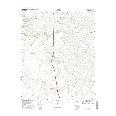
2016 Map of Wallace East
USGS Topo · Published 2016About this map
Watha and Wallace anchor the western edge of this coastal plain survey, situated within a landscape defined by the winding course of the Northeast Cape Fear River. The area serves as a transit corridor where the modern highway system and the CSX Railroad run parallel, cutting through the dense bottomlands of Angola Swamp. Small settlements like Willard and Tin City are connected by rural routes such as Mail Route Rd, reflecting the region’s agricultural and timber-based heritage.
Find a feature on this map
93 named features on this map. Tap any name to fly to it.
Don’t see what you’re looking for? This feature index may not catch every label — zoom into the map to look around manually.
Map Details
Editions of this 2016 Wallace East Map
This is the sole edition of this map. No revisions or reprints were ever made.
Other maps of this area

1942 · Burgaw
USGS Topo · 1:62,500

1943 · Kenansville
USGS Topo · 1:62,500

1948 · Kenansville
USGS Topo · 1:62,500

1953 · Florence
USGS Topo · 1:250,000

1953 · Beaufort
USGS Topo · 1:250,000

1954 · Florence
USGS Topo · 1:250,000

1954 · Beaufort
USGS Topo · 1:250,000

1955 · Atkinson
USGS Topo · 1:62,500

1962 · Rose Hill
USGS Topo · 1:62,500

1972 · Beaufort
USGS Topo · 1:250,000