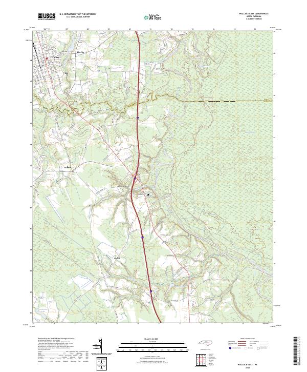
2022 Map of Wallace East
USGS Topo · Published 2022About this map
The town of Wallace serves as the primary hub in this coastal plain landscape, where the street grid transitions into the rural stretches of the Duplin and Pender county line. The geography is defined by the winding course of the Northeast Cape Fear River and its numerous tributaries, including Rockfish Creek and Washington Creek. These waterways once supported early industry, as evidenced by Boney Mill Pond near the settlement of Tin City.
Find a feature on this map
94 named features on this map. Tap any name to fly to it.
Don’t see what you’re looking for? This feature index may not catch every label — zoom into the map to look around manually.
Map Details
Editions of this 2022 Wallace East Map
This is the sole edition of this map. No revisions or reprints were ever made.
Other maps of this area
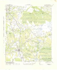
1942 · Burgaw
USGS Topo · 1:62,500
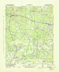
1943 · Kenansville
USGS Topo · 1:62,500
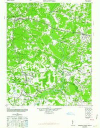
1948 · Kenansville
USGS Topo · 1:62,500

1953 · Florence
USGS Topo · 1:250,000
1953 · Beaufort
USGS Topo · 1:250,000

1954 · Florence
USGS Topo · 1:250,000
1954 · Beaufort
USGS Topo · 1:250,000
1955 · Atkinson
USGS Topo · 1:62,500
1962 · Rose Hill
USGS Topo · 1:62,500
1972 · Beaufort
USGS Topo · 1:250,000