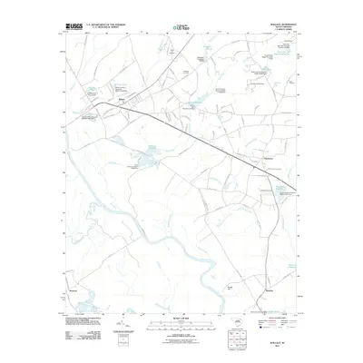
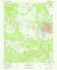
2011 Map of Wallace
USGS Topo · Published 2011About this map
The Great Pee Dee River defines the western and southern reaches of this landscape, its winding course and associated wetlands giving way to a network of creeks and small impoundments. The settlement at Wallace serves as a primary hub, while smaller communities like Chavistown, Madeline, and Montrose are scattered across the terrain. This area is characterized by its legacy of water-powered industry, evident in the numerous millponds such as Grants Millpond, McLaurins Millpond, and Anderson Millpond.
Find a feature on this map
105 named features on this map. Tap any name to fly to it.
Don’t see what you’re looking for? This feature index may not catch every label — zoom into the map to look around manually.
Map Details
Editions of this 2011 Wallace Map
This is the sole edition of this map. No revisions or reprints were ever made.
Other maps of this area

1942 · Rockingham
USGS Topo · 1:125,000

1949 · Ghio
USGS Topo · 1:24,000

1949 · Hamlet
USGS Topo · 1:62,500

1953 · Florence
USGS Topo · 1:250,000

1954 · Florence
USGS Topo · 1:250,000
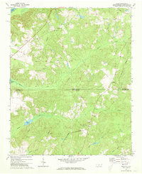
1971 · Diggs
USGS Topo · 1:24,000
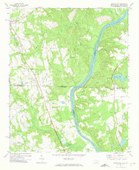
1971 · Morven East
USGS Topo · 1:24,000
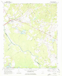
1971 · Wallace
USGS Topo · 1:24,000
1971 · Cheraw
USGS Topo · 1:24,000

1971 · Society Hill
USGS Topo · 1:24,000