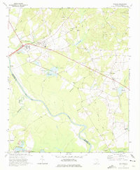
1971 Map of Wallace
USGS Topo · Published 1975About this map
The Pee Dee River and Thompson Creek define the southwestern landscape of this Marlboro County region, where the Seaboard Coast Line railroad cuts eastward through the settlement of Wallace. The map documents a rural economy transitioning from traditional milling to industrial uses, evidenced by numerous claypits and the presence of Industrial Waste Ponds near the rail junction. Genealogists will find a wealth of family-named sites, including Quick Cem, McQuage Cem, and several historic congregations such as Oak Grove Ch and Hickory Grove Ch.
Find a feature on this map
37 named features on this map. Tap any name to fly to it.
Don’t see what you’re looking for? This feature index may not catch every label — zoom into the map to look around manually.
Map Details
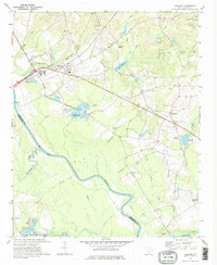
Editions of this 1971 Wallace Map
2 editions found
Other maps of this area

1942 · Rockingham
USGS Topo · 1:125,000

1949 · Ghio
USGS Topo · 1:24,000

1949 · Hamlet
USGS Topo · 1:62,500

1953 · Florence
USGS Topo · 1:250,000

1954 · Florence
USGS Topo · 1:250,000
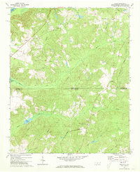
1971 · Diggs
USGS Topo · 1:24,000
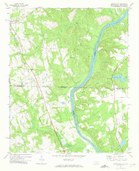
1971 · Morven East
USGS Topo · 1:24,000
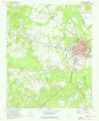
1971 · Cheraw
USGS Topo · 1:24,000

1971 · Society Hill
USGS Topo · 1:24,000
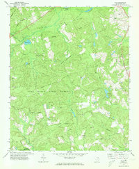
1972 · Cash
USGS Topo · 1:24,000