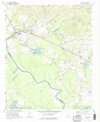
1971 Map of Wallace
USGS Topo · Published 1975About this map
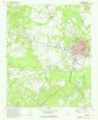
Pee Dee River and Thompson Creek define the southwestern landscape of this Marlboro County region during the early 1970s. The settlement of Wallace serves as a local hub at the crossing of the Seaboard Coast Line railroad, while the historic Old Wire Road traverses the northern section, tracing a path used by early communications and travel. This era shows a community defined by its rural institutions, with a dense concentration of neighborhood churches such as Ebenezer Ch, Oak Grove Ch, and Hickory Grove Ch anchoring the local social fabric.
Find a feature on this map
38 named features on this map. Tap any name to fly to it.
Don’t see what you’re looking for? This feature index may not catch every label — zoom into the map to look around manually.
Map Details
Editions of this 1971 Wallace Map
2 editions found
Other maps of this area

1942 · Rockingham
USGS Topo · 1:125,000

1949 · Ghio
USGS Topo · 1:24,000

1949 · Hamlet
USGS Topo · 1:62,500

1953 · Florence
USGS Topo · 1:250,000

1954 · Florence
USGS Topo · 1:250,000
1971 · Diggs
USGS Topo · 1:24,000
1971 · Morven East
USGS Topo · 1:24,000
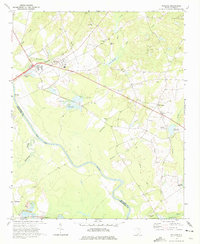
1971 · Wallace
USGS Topo · 1:24,000
1971 · Cheraw
USGS Topo · 1:24,000

1971 · Society Hill
USGS Topo · 1:24,000