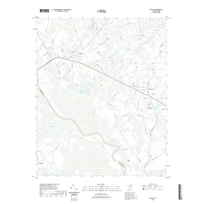
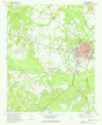
2020 Map of Wallace
USGS Topo · Published 2020About this map
The Great Pee Dee River defines the western edge of this landscape, acting as the border between Marlboro and Chesterfield counties. In the uplands to the east, the settlement of Wallace serves as a local hub near Rollins Pond and Husbands Creek. The region’s agricultural and industrial history is visible through a series of millponds and family-named landmarks, including Andersons Millpond and McLaurins Millpond situated along the drainage of Phils Creek. For those researching local heritage, the map identifies several rural burying grounds such as White Oak Cem, Ebenezer Cem, and McQuage Cem. The interior is crisscrossed by historic routes like Old Wire Rd W, a path that once served as a primary North-South artery, passing by McMeekin Pond and Grants Mill Pond.
Find a feature on this map
87 named features on this map. Tap any name to fly to it.
Don’t see what you’re looking for? This feature index may not catch every label — zoom into the map to look around manually.
Map Details
Editions of this 2020 Wallace Map
This is the sole edition of this map. No revisions or reprints were ever made.
Other maps of this area

1942 · Rockingham
USGS Topo · 1:125,000

1949 · Ghio
USGS Topo · 1:24,000

1949 · Hamlet
USGS Topo · 1:62,500

1953 · Florence
USGS Topo · 1:250,000

1954 · Florence
USGS Topo · 1:250,000
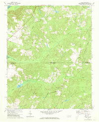
1971 · Diggs
USGS Topo · 1:24,000
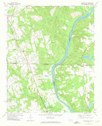
1971 · Morven East
USGS Topo · 1:24,000
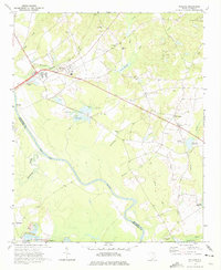
1971 · Wallace
USGS Topo · 1:24,000
1971 · Cheraw
USGS Topo · 1:24,000

1971 · Society Hill
USGS Topo · 1:24,000