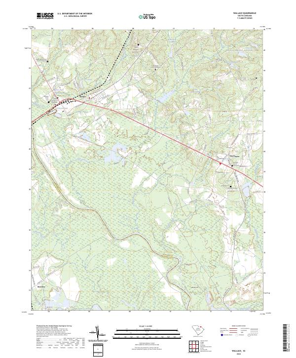
2024 Map of Wallace
USGS Topo · Published 2024About this map
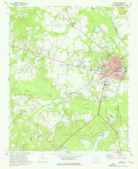
Wallace and the nearby settlement of Chavistown anchor this landscape along the border of Marlboro and Chesterfield counties. The Great Pee Dee River and its tributary, Thompson Creek, dominate the western half of the region, defining the floodplain and creating a network of winding water bodies like Rollins Pond and McMeekin Pond. This modern survey reveals a countryside deeply connected to its lineage, evidenced by a high density of rural cemeteries and churchyards.
Find a feature on this map
93 named features on this map. Tap any name to fly to it.
Don’t see what you’re looking for? This feature index may not catch every label — zoom into the map to look around manually.
Map Details
Editions of this 2024 Wallace Map
This is the sole edition of this map. No revisions or reprints were ever made.
Other maps of this area

1942 · Rockingham
USGS Topo · 1:125,000

1949 · Ghio
USGS Topo · 1:24,000

1949 · Hamlet
USGS Topo · 1:62,500

1953 · Florence
USGS Topo · 1:250,000

1954 · Florence
USGS Topo · 1:250,000
1971 · Diggs
USGS Topo · 1:24,000
1971 · Morven East
USGS Topo · 1:24,000
1971 · Wallace
USGS Topo · 1:24,000
1971 · Cheraw
USGS Topo · 1:24,000

1971 · Society Hill
USGS Topo · 1:24,000