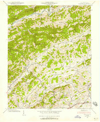
1938 Map of Wallace
USGS Topo · Published 1958About this map
North Fork Holston River flows past Horseshoe Bend and the Buffalo Ford, defining the northern landscape of Washington County before it gives way to the ridges of Rich Mountain and Walker Mountain. In 1938, this region was a network of rural hubs and small-scale infrastructure, from the Wolfrun P O and Leonard Sta to the Bristol Reservoir. The map reveals a dense distribution of social and educational centers like the Gom Hill Sch, Pleasant Dale Sch, and Lippincott Ch, serving dispersed settlements such as Zenobia and Nordyke. The southern corridor is marked by the Norfolk and Western railway passing through Wallace and Haskell, while recreational spots like Crystal Pool suggest the local lifestyle between the agrarian valleys of Caney Valley.
Find a feature on this map
74 named features on this map. Tap any name to fly to it.
Don’t see what you’re looking for? This feature index may not catch every label — zoom into the map to look around manually.
Map Details
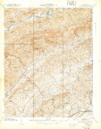
Editions of this 1938 Wallace Map
2 editions found
Other maps of this area

1897 · Bristol
USGS Topo · 1:125,000

1902 · Bristol
USGS Topo · 1:125,000

1918 · Carterton
USGS Topo · 1:62,500

1920 · Coeburn
USGS Topo · 1:48,000

1934 · Wallace
USGS Topo · 1:24,000

1934 · Holston Valley
USGS Topo · 1:24,000

1934 · Brumley
USGS Topo · 1:24,000

1934 · Hansonville
USGS Topo · 1:24,000

1934 · Wyndale
USGS Topo · 1:24,000

1934 · Bristol
USGS Topo · 1:24,000