1938 Map of Wallace
USGS Topo · Published 1938About this map
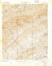
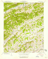
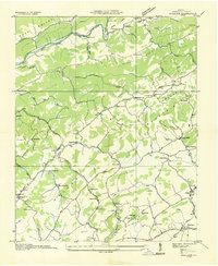
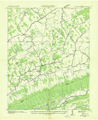
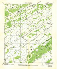
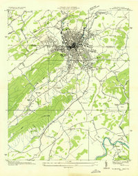
North Fork Holston River snakes through the northern reaches of Washington County, defining the valley floor below Clinch Mtn and Poor Valley Mountain. This 1938 survey by the Tennessee Valley Authority and USGS reveals a landscape deeply connected to its topography, where settlements like Zenobia and Nordyke are tucked into gaps and narrow valleys. The presence of both the Southern RR and the Norfolk and Western RR in the southern portion of the map indicates the region's historical reliance on rail for transportation and commerce.
Find a feature on this map
70 named features on this map. Tap any name to fly to it.
Don’t see what you’re looking for? This feature index may not catch every label — zoom into the map to look around manually.
Map Details
Editions of this 1938 Wallace Map
2 editions found
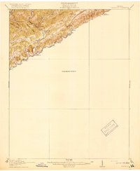
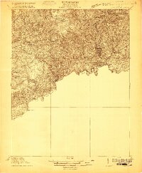
Other maps of this area

1897 · Bristol
USGS Topo · 1:125,000

1902 · Bristol
USGS Topo · 1:125,000
1918 · Carterton
USGS Topo · 1:62,500
1920 · Coeburn
USGS Topo · 1:48,000
1934 · Wallace
USGS Topo · 1:24,000

1934 · Holston Valley
USGS Topo · 1:24,000

1934 · Brumley
USGS Topo · 1:24,000
1934 · Hansonville
USGS Topo · 1:24,000
1934 · Wyndale
USGS Topo · 1:24,000
1934 · Bristol
USGS Topo · 1:24,000