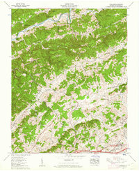
1960 Map of Wallace
USGS Topo · Published 1962About this map
Clinch Mtn and Poor Valley Mountain dominate the northern terrain, separated by the winding North Fork Holston River as it passes through Horseshoe Bend. The landscape is a series of parallel ridges and valleys, including Caney Valley and Rich Valley, which channeled early settlement and transportation. Many family-named landmarks such as McGuire Hollow and Vickers Hollow are documented alongside numerous rural churches and cemeteries, including Centenary Ch and Cunningham Cem. Industrial and infrastructure development is evident in the south, where the Norfolk and Western and Southern railroads converge near the Lee Highway. Notable local landmarks like Craigs Mill and the Lime Hill school reflect the community's agricultural and social foundations during the mid-century era.
Find a feature on this map
85 named features on this map. Tap any name to fly to it.
Don’t see what you’re looking for? This feature index may not catch every label — zoom into the map to look around manually.
Map Details
Editions of this 1960 Wallace Map
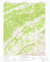
2 editions found
Other maps of this area

1897 · Bristol
USGS Topo · 1:125,000

1902 · Bristol
USGS Topo · 1:125,000

1918 · Carterton
USGS Topo · 1:62,500

1920 · Coeburn
USGS Topo · 1:48,000

1934 · Wallace
USGS Topo · 1:24,000

1934 · Holston Valley
USGS Topo · 1:24,000

1934 · Brumley
USGS Topo · 1:24,000

1934 · Hansonville
USGS Topo · 1:24,000

1934 · Wyndale
USGS Topo · 1:24,000

1934 · Bristol
USGS Topo · 1:24,000