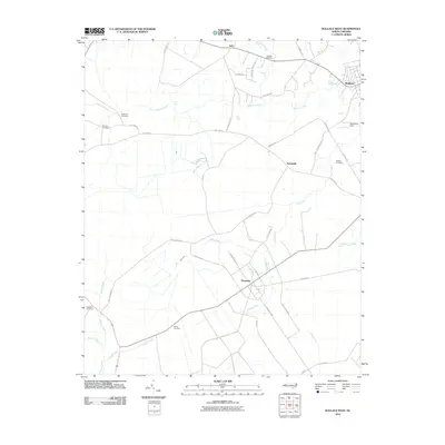
2010 Map of Wallace West
USGS Topo · Published 2010About this map
The settlement of Penderlea stands as a focal point in this 2010 topographic record, showing the distinct geometric road patterns of a planned community. This rural Pender County landscape is defined by its network of blackwater streams, including Moores Creek, Rockfish Creek, and Crooked Run, which drain the low-lying terrain into the Cape Fear River basin. In the northeast, the outskirts of Wallace and the regional aviation hub at Henderson Field signify the area's modern development.
Find a feature on this map
47 named features on this map. Tap any name to fly to it.
Don’t see what you’re looking for? This feature index may not catch every label — zoom into the map to look around manually.
Map Details
Editions of this 2010 Wallace West Map
This is the sole edition of this map. No revisions or reprints were ever made.
Other maps of this area

1942 · Burgaw
USGS Topo · 1:62,500

1943 · Kenansville
USGS Topo · 1:62,500

1948 · Kenansville
USGS Topo · 1:62,500

1953 · Florence
USGS Topo · 1:250,000

1953 · Beaufort
USGS Topo · 1:250,000

1954 · Florence
USGS Topo · 1:250,000

1954 · Beaufort
USGS Topo · 1:250,000

1955 · Atkinson
USGS Topo · 1:62,500

1962 · Rose Hill
USGS Topo · 1:62,500

1972 · Beaufort
USGS Topo · 1:250,000