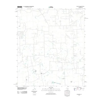
2010 Map of Waller NW
USGS Topo · Published 2010About this map
Fields Store serves as a central landmark for this rural Waller County landscape, which is defined by a dense network of meandering waterways and scattered aviation strips. The terrain is partitioned by several major drainages, including Spring Creek, Walnut Creek, and Threemile Creek, which dictate the local road patterns such as Waller-Gladdish Rd. Small-scale water management is evident in the presence of Japhet Lake and Lynch Lake, both created by named dams.
Find a feature on this map
20 named features on this map. Tap any name to fly to it.
Don’t see what you’re looking for? This feature index may not catch every label — zoom into the map to look around manually.
Map Details
Editions of this 2010 Waller NW Map
This is the sole edition of this map. No revisions or reprints were ever made.
Other maps of this area

1914 · Navasota
USGS Topo · 1:62,500

1916 · Hockley
USGS Topo · 1:24,000

1920 · Hockley
USGS Topo · 1:31,680

1920 · Waller
USGS Topo · 1:31,680

1954 · Beaumont
USGS Topo · 1:250,000

1954 · Austin
USGS Topo · 1:250,000

1956 · Hempstead
USGS Topo · 1:62,500

1957 · Beaumont
USGS Topo · 1:250,000

1958 · Courtney
USGS Topo · 1:24,000

1960 · Waller
USGS Topo · 1:24,000