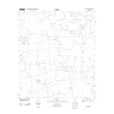
2013 Map of Waller NW
USGS Topo · Published 2013About this map
Fields Store serves as the primary landmark in this rural Waller County landscape, situated at the junction of several farm-to-market roads. The area is defined by a dense network of watercourses, including the southward-flowing Threemile Creek and Brushy Creek, which drain toward the larger Spring Creek valley. These tributaries carve through the countryside, influencing the placement of early homesteads and ranching operations.
Find a feature on this map
108 named features on this map. Tap any name to fly to it.
Don’t see what you’re looking for? This feature index may not catch every label — zoom into the map to look around manually.
Map Details
Editions of this 2013 Waller NW Map
This is the sole edition of this map. No revisions or reprints were ever made.
Other maps of this area

1914 · Navasota
USGS Topo · 1:62,500

1916 · Hockley
USGS Topo · 1:24,000

1920 · Hockley
USGS Topo · 1:31,680

1920 · Waller
USGS Topo · 1:31,680

1954 · Beaumont
USGS Topo · 1:250,000

1954 · Austin
USGS Topo · 1:250,000

1956 · Hempstead
USGS Topo · 1:62,500

1957 · Beaumont
USGS Topo · 1:250,000

1958 · Courtney
USGS Topo · 1:24,000

1960 · Waller
USGS Topo · 1:24,000