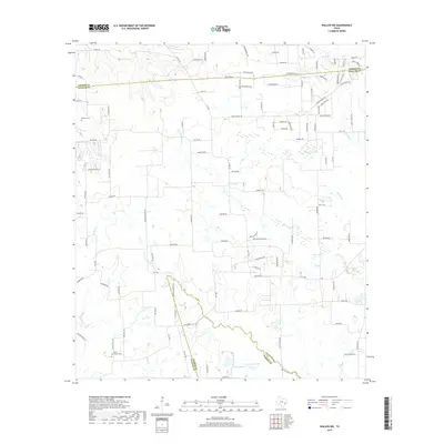
2019 Map of Waller NW
USGS Topo · Published 2019About this map
Kirby Chapel Cem and Rosenau Cem stand as quiet landmarks within this rural landscape north of the Waller community, where the boundaries of Grimes, Waller, and Harris counties meet. The terrain is defined by a dense network of seasonal and perennial waterways, including the winding courses of Spring Cr and Threemile Cr. These creeks, along with Gladish Cr and Cedar Cr, historically dictated the placement of early farm-to-market roads such as FM 1488 and FM 1736. Near the southern boundary, Japhet Lake and Lynch Lake punctuate the landscape, illustrating the hydrology of the Texas coastal plains. The transition between timber and open prairie is reflected in the local road names, which often preserve the names of early settler families who established themselves along the drainages of Walnut Cr and Brushy Cr.
Find a feature on this map
104 named features on this map. Tap any name to fly to it.
Don’t see what you’re looking for? This feature index may not catch every label — zoom into the map to look around manually.
Map Details
Editions of this 2019 Waller NW Map
This is the sole edition of this map. No revisions or reprints were ever made.
Other maps of this area

1914 · Navasota
USGS Topo · 1:62,500

1916 · Hockley
USGS Topo · 1:24,000

1920 · Hockley
USGS Topo · 1:31,680

1920 · Waller
USGS Topo · 1:31,680

1954 · Beaumont
USGS Topo · 1:250,000

1954 · Austin
USGS Topo · 1:250,000

1956 · Hempstead
USGS Topo · 1:62,500

1957 · Beaumont
USGS Topo · 1:250,000

1958 · Courtney
USGS Topo · 1:24,000

1960 · Waller
USGS Topo · 1:24,000