Loading...
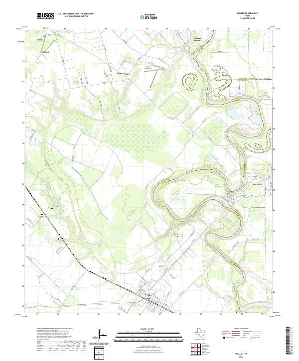
Loading map...2022 Map of Wallis
USGS Topo · Published 2022About this map
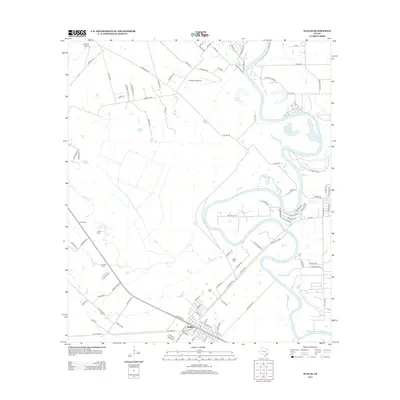
The Brazos River meanders heavily across the Austin and Fort Bend County line, defining the agricultural character of this region. The settlement of Wallis serves as a central hub, where a concentration of local history is preserved in sites like the Wallis Cem and nearby Hillside Cem. To the north, aviation interests are evident at Gloster Aerodrome and Longbird Airport, while the landscape is dotted with smaller communities including South Frydek and Simonton.
Find a feature on this map
101 named features on this map. Tap any name to fly to it.
Don’t see what you’re looking for? This feature index may not catch every label — zoom into the map to look around manually.
Map Details
Date Portrayed2022
Date Published2022
PublisherU.S. Geological Survey
Map TypeTopographic
Scale1:24,000
Physical Dimensions24 x 29 inches
Editions of this 2022 Wallis Map
This is the sole edition of this map. No revisions or reprints were ever made.
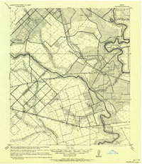
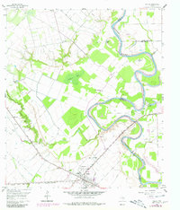
Historical Maps of Sealy Through Time
7 maps found
Featured Locations
Source Details
SourceU.S. Geological Survey
CopyrightPublic Domain