
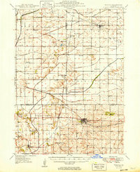
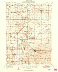
1949 Map of Walnut
USGS Topo · Published 1949About this map
Walnut and the surrounding agricultural townships of Bureau, Lee, and Whiteside counties are documented here just after the Second World War. The landscape is defined by an extensive network of drainage projects designed to manage the Green River basin, including the Feeder Canal, Five Mile Ditch, and Special Ditch. These engineering efforts facilitated the growth of small rail-side communities like Harmon, Deer Grove, and Normandy, which served as local hubs for the numerous rural schools peppered across the grid.
Find a feature on this map
56 named features on this map. Tap any name to fly to it.
Don’t see what you’re looking for? This feature index may not catch every label — zoom into the map to look around manually.
Map Details
Editions of this 1949 Walnut Map
3 editions found
Other maps of this area

1893 · Hennepin
USGS Topo · 1:62,500

1909 · Hennepin
USGS Topo · 1:62,500

1911 · Hennepin
USGS Topo · 1:62,500

1918 · Dixon
USGS Topo · 1:62,500

1921 · Buda
USGS Topo · 1:62,500

1923 · Buda
USGS Topo · 1:62,500

1929 · Annawan
USGS Topo · 1:62,500

1930 · Woodsung
USGS Topo · 1:48,000

1932 · Prophetstown
USGS Topo · 1:48,000

1932 · Annawan
USGS Topo · 1:62,500