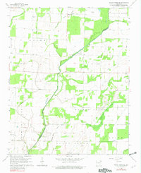
1965 Map of Walnut Ridge SE
USGS Topo · Published 1982About this map
Whiskerville and the agricultural lands of Promised Land anchor this mid-1960s study of the Arkansas delta near the Lawrence and Greene County line. The landscape is defined by its drainage history, where the Cache River meanders through a complex system of ditches and sloughs, including the Beaver Dam Ditch and the evocatively named Negro Head Slough. These waterways reflect the concerted effort to reclaim the low-lying terrain for farming, a process that shaped the settlement patterns of small communities like Light and Fontaine.
Find a feature on this map
32 named features on this map. Tap any name to fly to it.
Don’t see what you’re looking for? This feature index may not catch every label — zoom into the map to look around manually.
Map Details
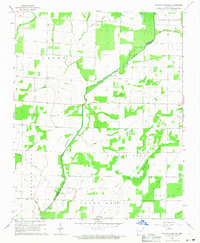
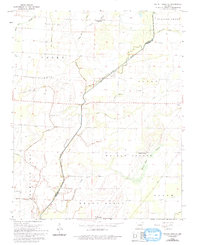
Editions of this 1965 Walnut Ridge SE Map
3 editions found
Other maps of this area

1932 · Walnut Ridge
USGS Topo · 1:62,500

1935 · Sedgwick
USGS Topo · 1:62,500

1935 · Walnut Ridge
USGS Topo · 1:62,500

1939 · Jonesboro
USGS Topo · 1:62,500

1940 · Gainesville
USGS Topo · 1:62,500

1953 · Memphis
USGS Topo · 1:250,000

1956 · Memphis
USGS Topo · 1:250,000

1957 · Poplar Bluff
USGS Topo · 1:250,000

1958 · Jonesboro
USGS Topo · 1:62,500

1958 · Gainesville
USGS Topo · 1:62,500